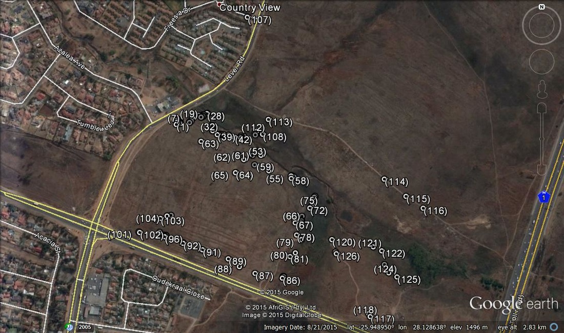
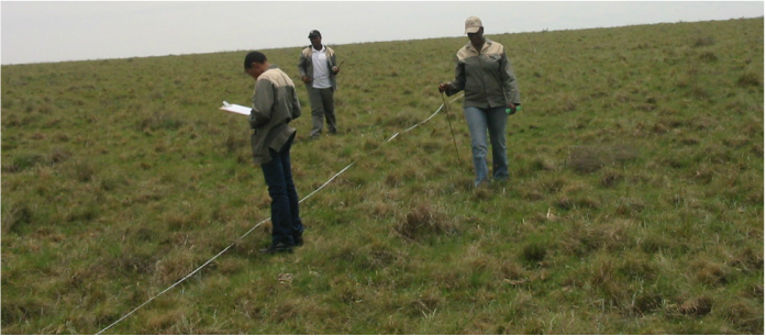
Photographs are an important tool for consultants and researchers. They are part of the data collection process and provide evidence of the state of vegetation or of specific features of importance in the landscape, like a rare species or illegal dumping.
Geotagging photographs is the process of adding a latitude and longitude to the photograph. All photo files come with an associated metadata file; the most common is the EXIF format, although there are others. If you look at the properties of one of your photographs, under the "details" tab, you will see a range of information about the photograph, right down to the focal length, f-stop and shutter speed, make and model of the camera, and of course the time the photo was taken (for some reason, in Windows, the time the photo was taken is labelled under "Date modified" not "Date created").
If your camera has a built-in GPS or you have a GPS accessory for your camera, you can automatically geotag your photos. Modern cellphones come with a geotagging option (you need to turn on the Geotagging in the camera settings). But what if you don't have that tool, and you have a batch of several hundred photos that need geotagging? You can't manually geotag them all in Picassa or Google Earth.
There are several software tools available online that can make the process a lot easier. The one that I've been using is a free tool called ExifTool. I'm going to explain how I use Exiftool to geotag several hundred photographs at a time, using separate GPS trackfiles.
 RSS Feed